We have purchased PredictWind (PW) with a ‘Standard’ subscription. With this subscription, the following features are available.
- GPS tracking.
- Routing based on weather models (helps to plan an optimal route for a crossing taking into account wind and currents).
- High-resolution (tidal) current information.
We only have experience with GPS tracking so far. Once we have more experience with PredictWind's other functionalities, a separate post will follow.
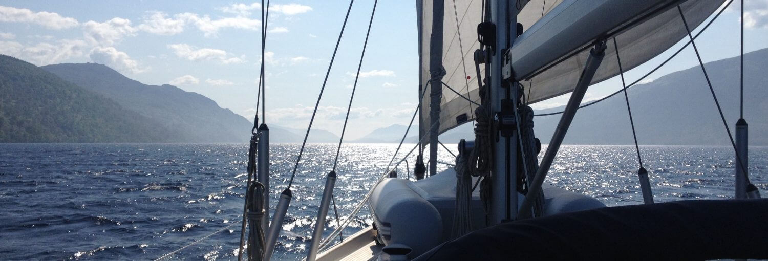
We are very happy with the GPS tracking. With it, the boat's position is always accessible in real time to the outside world on our own PredictWind page. Also accessible via our homepage and the ‘Where are we’ menu.
To get GPS tracking working, you need a data hub from PredictWind. The PW datahub is linked to the SeaQuest navigation network. The PW datahub records a log of e.g. position, boat speed, current wind strength and direction every x frequency (adjustable, e.g. 15 min or an hour).
If we are online (which is usually the case with Starlink), this data is automatically sent to our PW account and put on our own page.
When we are offline, this data is kept in the PW data hub. As soon as we are online, the data is still sent to our account with its own page. So for keeping all the data, being off-line for a while is not a problem. When we are on the road, it does mean that it will appear on our PW page that we are down, but that will not be the case ;-).
When we turn on the navigation equipment, the data hub function also turns on. This gives us an automatic GPS tracking system without having to think about this any further. With that, without us doing anything, our position and environment data is communicated to our PW page and is thus accessible to the outside world.
Via the PW app or website, we can add our own information (text and photos) to the logged points/route. You can see that in the route with a white bullet. If you click on it, you will see the text and/or photos.